Public Domain Maps: Free and Up to Date!
Free, open source, portable atlas
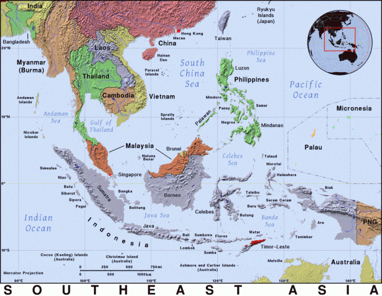
PAT is a free software that works like a portable atlas you can edit and create with. I haven’t played around with it much. What I was really looking for, and found on this site, were current maps that were free to use for projects.
You can select a country, region, territory, or state and find a very nice map to download. And the best part is that these maps are all non-copyright aka public domain!
Use them, edit them, print them, include them in your unit studies and products.
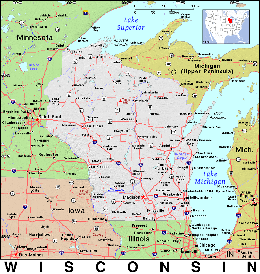
Check out all the maps at PAT right here.


Leave a Reply